Your cart is currently empty!
Saint Joseph Sound Spoil Islands
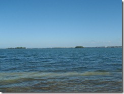
December in Florida. On the water at 11:30, clear blue skies and 72-degrees.
This was a trip to visit the spoil islands in Saint Joseph Sound to pick one for camping in a few weeks. Spoil islands are the result of dredging channels – the material dredged from the bottom of the channel is loaded on a barge and the barge is periodically dumped to the side of the channel.
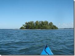
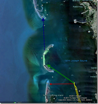
This results in evenly spaced islands (or bars if there wasn’t enough material) along the line of the channel. In this case there are six islands about a half mile apart running north of the Dunedin-Honeymoon Island causeway. The channel continues to the north, but the islands stop – the northern dump sites didn’t rise to the level of islands.
(open in Google Earth)
(7 miles – 3:30)
There’s a lot of rock and oyster shell around the causeway and islands, much of it exposed at low tide, which is when I arrived to put in. The oyster shell will tear up a boat faster even than rock, so don’t drag your boat over it. Also watch your step, as it’ll slice your feet up just as easily.
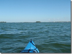
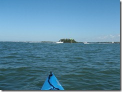
I set course for the first island in the chain and started off. Getting there from where I put in on the causeway meant crossing the boat channel. I always laugh at kayakers who start talking about marine law and right-of-way regarding powered boats. In my book, right-of-way goes to who won’t wind up as flotsam and chum after the collision, so I always make sure the channels are clear for a long ways before trying to cross.
This is not clear enough:
The reason we wait until it’s completely clear, of course, is because no matter how well the day’s going, no matter how swift your stroke is … dead center of the channel will be the spot your cooler decides to slide off the back deck of the boat and become a sea anchor. Did this happen today? Of course it did. This is why I want a new boat.
On some of the islands, local conservation groups are busily at work replacing non-native vegetation. While I can agree with this in principal, I still think the Australian pines just look better than native growth.
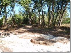
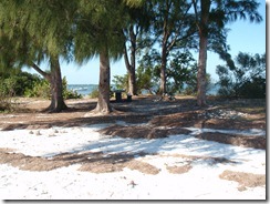
The first and second islands north of the causeway have rock fire pits and cleared areas suitable for camping. The second is larger and someone has brought in a picnic table.
Both were nicely free of trash, with only a few cans or bottles around. Most of these had already been placed in the fire pits.
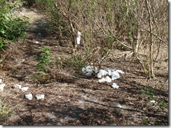
On the first island, though, there’s clearly a “bathroom” area that some people aren’t following “leave no trace” in.
If you can’t handle packing it out, then stay somewhere there’s a toilet.
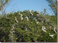
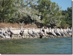
The third island north of the causeway is an Audubon sanctuary, so landing is not permitted. The fourth was inaccessible during my trip due to the tide – exposed rock and oyster shell made landing a bad idea.
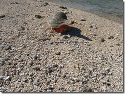
Island five had a little surprise in store for me. The low tide exposed a spit of sand and an odd looking rock that turned out to be this little guy:
Not every day that you see one of these on the beach.
The last island in the chain is small and rocky, with only a few scrub trees for cover.
Even so, if the weather forecast is good, it will probably be my choice for camping, because it’s isolated and well-positioned as a base. From here, it’s only two miles to either Honeymoon (red) or the bars north of Honeymoon (green), and from them it’s only another two miles to Anclote (blue).
